
Location & territory
Stryi district of the Lviv Region — a strategic point at the crossroads of Western Ukraine's transport corridors and the EU.
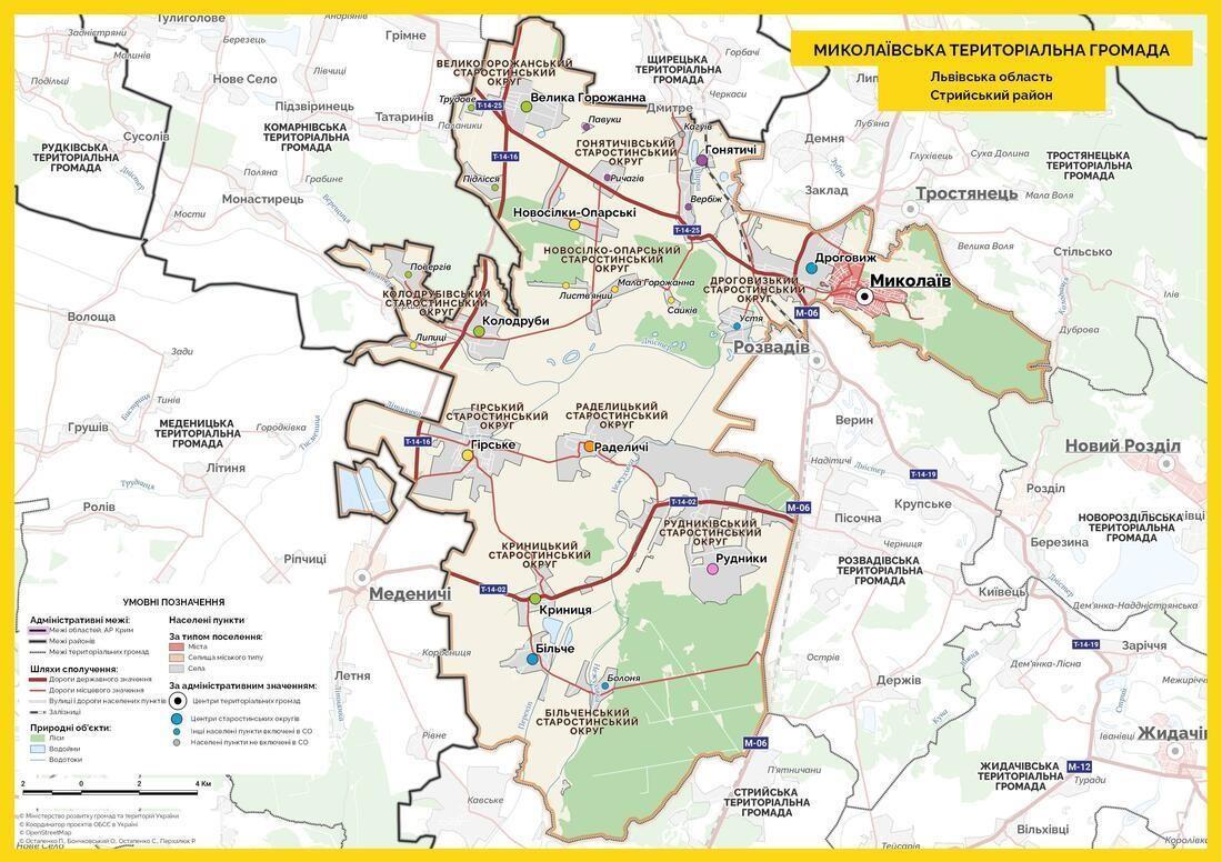
Rudnyky, Stryi District
The site is located in the Rudnyky starosta district of the Mykolaiv urban territorial community.
| Region | Lviv |
| District | Stryi |
| Community | Mykolaiv community |
| Settlement | Rudnyky village |
| Cadastral № | 4623087200:07:000:0092 |
| Area | 32.3398 ha |
| Owner | Mykolaiv City Council |
| Ownership | Municipal |
Distances to key cities
The park has direct connections to all major cities of Western Ukraine and the European Union.
Przemyśl 🇵🇱
108 km
Rzeszów 🇵🇱
198 km
Košice 🇸🇰
331 km
Kraków 🇵🇱
354 km
Warsaw 🇵🇱
513 km
Budapest 🇭🇺
540 km
Kyiv 🇺🇦
576 km
Lviv 🇺🇦
~60 km
Prague 🇨🇿
~900 km
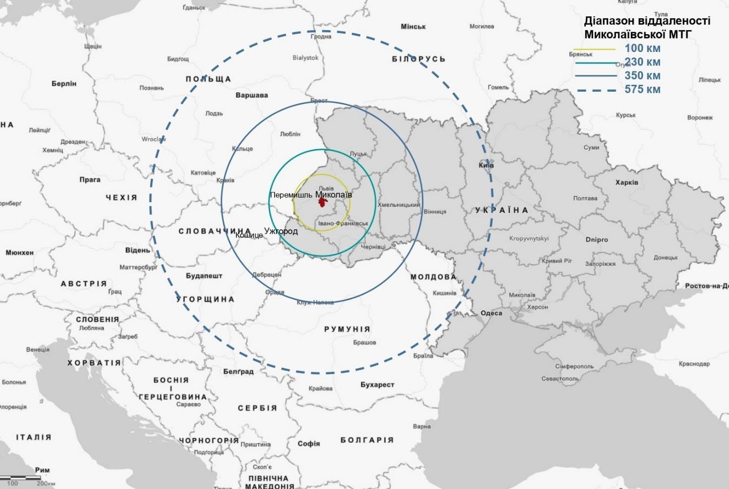
Distance range from the community: 100 · 230 · 350 · 575 km
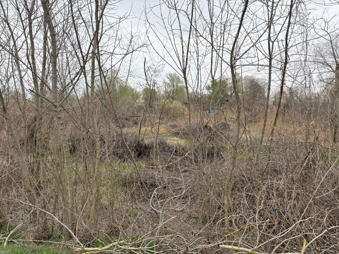
Greenfield ready for development
32.34 hectares of undeveloped land in Rudnyky, prepared for the launch of a modern industrial park. Communal ownership, industrial land designation, cadastral number already issued.
On the north, west and east — agricultural land. On the south — forest. Ideal environment for eco-industrial development.
Industry-ready
Usage code 11.02
Land for industry, transport, communications, energy, defence and other purposes.
Permitted activities
Construction and operation of main, ancillary and auxiliary buildings of processing and machine-building industries, including waste-treatment facilities and a power-generation block.
See engineering preparation
Find out how the networks, roads, building footprints and other components of the park are organised.
Park infrastructure